Tuesday, April 10, 2007

Tuleyome Earth Day Event

Come on out! It benefits our teen rafting program



Monday, January 08, 2007

Exploring Bear Canyon, off Rayhouse Road

I'd been laid up with a sinus infection for 8 weeks during November/December (seriously, it wasn't cool), so as soon as the cold was gone, I was more eager to get outside than a kid with homework on a sunny Saturday. Didn't care if it was raining, so this hike was done in pouring rain. Irony being, of course, that it hasn't really rained much since then....This hike was in late December.

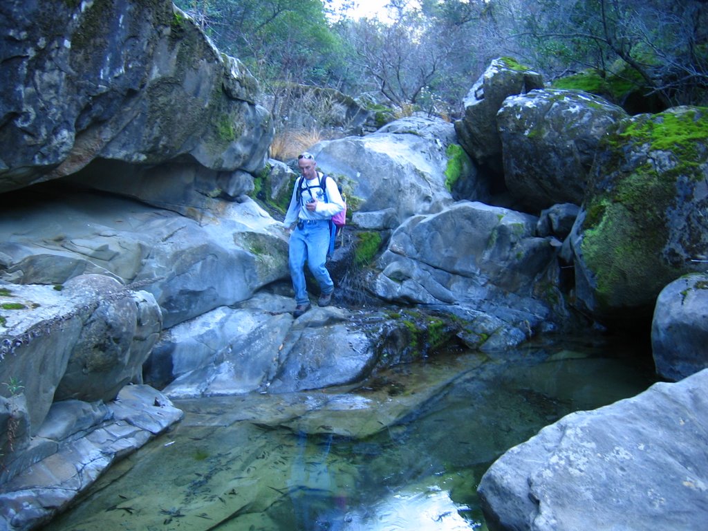
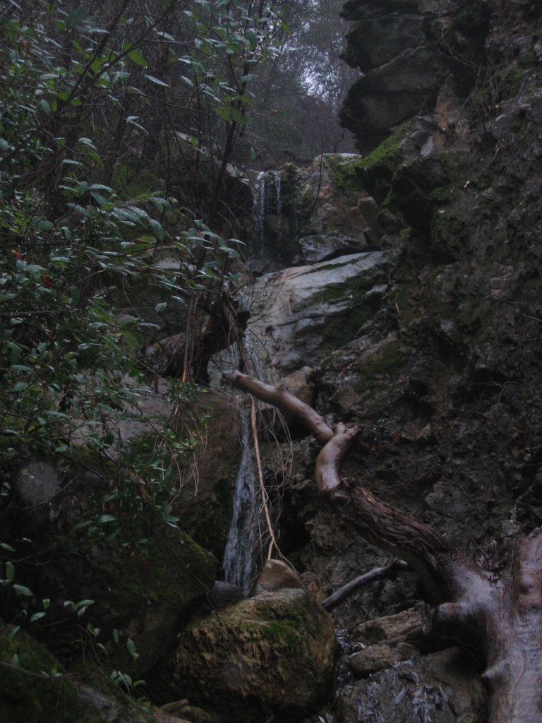
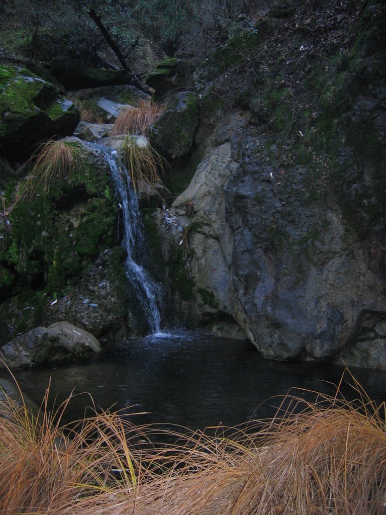
So, we started off hiking up Rayhouse Road, until we got to Bear Canyon. Then it was cross-country rock-scrambling up the canyon. Great waterfalls up there, including one which was at least 50-feet in a three-stair step. I just wish it had rained more beforehand, since the falls were pretty meager. Still, now that I've seen it, I'll be sure to go back during higher flows.

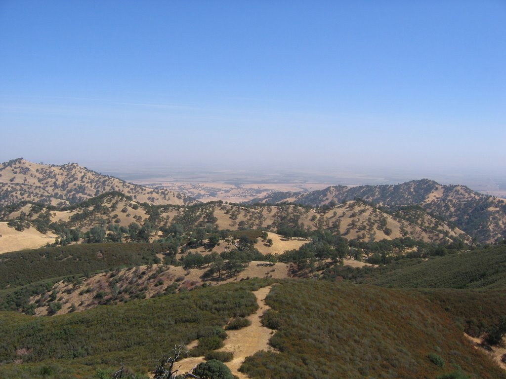
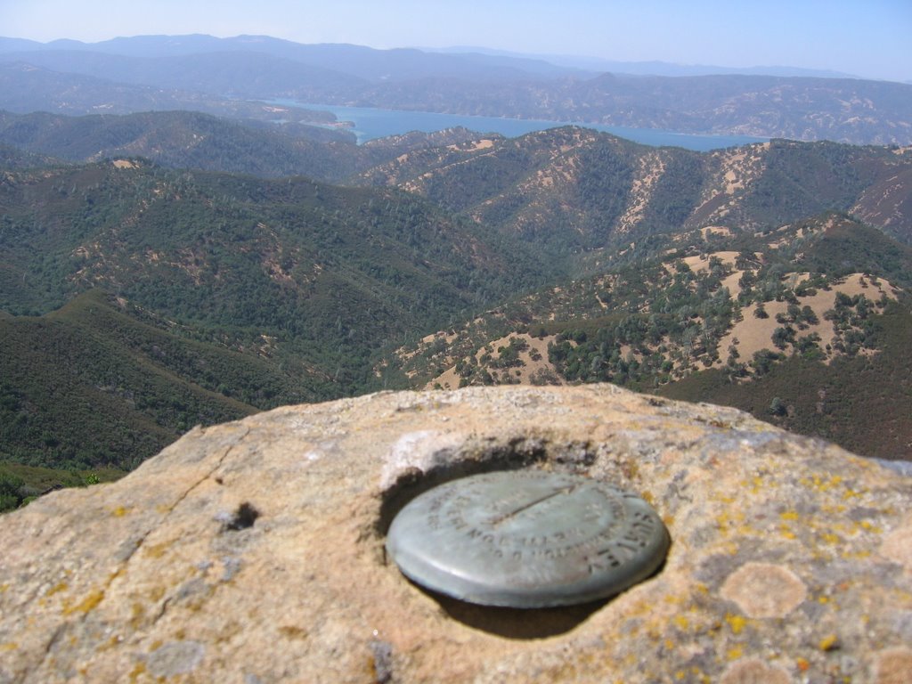
After getting above the falls, we headed cross-country to the 'Langs' USGS marker (ok, really it was a California Department of Transportation marker). Great hike through oak woodlands, including some of the largest stands of Black Oak I've seen in the county. After getting to Langs, I snapped a photo of the brass marker, then we headed downhill to intersect the Frog Pond trail and head back to the car. Well worth the rain soak!


Finally Hiked Up Wildhorse Canyon

For quite some time, I've been dying to hike up Wildhorse Canyon, which is connected and to the east of Cold Canyon. It's a cross-country rock scramble, but well worth the effort. We haven't had much rain this year, so the flow was non-existent at the upper end and only a few small pools were located along the watercourse. However, I found numerous rock formations that will be wonderful waterfalls and swimming holes in the springtime. Can't wait to go back. It's BLM-managed public land, and quite extensive. Lots of exploring to do. Further up the canyon were some plastic tubes from the marijuana growers that were busted up there in 2005. I'd like to lead some cleanups back there in the future.


Thursday, October 12, 2006

Hiking Club info - aka. What's going on with the hiking club?

A number of people have asked about the fall 2006 schedule. There are several things going on...

Sam and I want to make the program more sustainable. When we started this, it was small, just the two of us as leaders, and few members. That was six years ago. Since then, I've had kids and Sam's knees are feeling the effects of hikes from days past. And our membership is huge...

Also, with the hiking club adopted as a
Tuleyome project, we now have the capability to use our non-profit sponsor's organizational abilities to help recruit hike leaders (docents). This, coupled with Tuleyome's acquisition of the Ireland Ranch, makes this even more important, as we will be seeking docents to lead hikes on that property as well.

Sam has suggested the following, in an email to our hiking list:

The Yolohiker web site Calendar of Hikes is not updated for 2006-7, mainly because we don't yet have a schedule.

The problem is that we leaders, mainly Andy and myself plus Carol, Herb and Andrea, need to expand our inventory of hike leaders-- so listen up, here's the plan:

We will have hikes on the second Sunday and fourth Saturday (with exceptions-- see calendar below) of each month through early next June. As usual, they will all start with a 9am rendezvous at either the
Guinda Post Office or the Winters public parking lot at the intersection of Railroad and Russell. We have a large inventory of past hikes and a similar inventory of able-bodied hikers who know them and are capable of leading others on these hikes.

All we need to do is match-up the dates, hikes and leaders. The
Trail maps page of Yolohiker shows 15 hikes and Cross-country page shows 6 more. And there are a half-dozen or so additional, eg, Long Canyon, Zim-Zim Falls, etc., not yet on the website.

Here's the bottom line: If you know one of these hikes (or a new one, not yet in our repertoire) and want to see it on the list, then pick a date and email me volunteering to lead the hike. If you've been on a hike with me or Andy, you know how it's done and we'll be happy to provide pointers, guidance etc. As these come in, Andy will replace To Be Announced on each date with the hike title and leader. I'll include it in this newsletter writeup and schedule.

But we need to make Yolohikers and the Capay Valley Hiking Club into more of a DIY adventure (instead of a DIMyself venture). Several people have already volunteered but now is the time to get the specifics to me-- where will we be going on Oct 28??
So, if you are interested in leading a hike and getting involved, let me know!

Dates we have set aside, but still need leaders If we don't get a leader, there won't be a hike on the day posted:

Calendar: 2006-7 Hike Schedule (If I've made a mistake in picking 2nd Sun and 4th Sat, make an adjustment-- suggest an alternative date for your hike, as appropriate --sam)
Oct 8 Sam
Redbud Trail
Oct 28 TBA
Nov 12 TBA
Dec 2 (because 25 Nov is Thanksgiving) TBA
Dec 10 TBA
Dec 23 TBA
Jan 1 TBA (Third annual New Years Day excursion)
Jan 14 TBA
Jan 27 TBA
Feb 11 TBA
Feb 24 TBA
Mar 11 TBA
Mar 24 TBA
Apr 8 TBA
Apr 28 TBA
May 13 TBA
May 26 TBA
Jun 10 TBA
*Rendezvous in
Winters, not Guinda

Tuesday, October 03, 2006

Ireland Ranch Sneak Peak

I recently went up to Tuleyome's Ireland Ranch, to beat through the brush to get to the BLM public lands Berryessa Peak unit. Here are some photos of the area, located in western Yolo County, along the ridge, between Winters and Esparto. Tuleyome is working on a management plan for their ranch, which will cover how to provide access (docent-hikes) to the ranch and publc lands beyond. Until that's completed and underway, enjoy these photos.....

Image of Rocky Ridge (BLM)


Looking east, from the ridge, across the ranch.
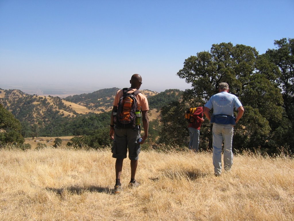

Our group on one of the grassy knolls on the ranch, looking east.
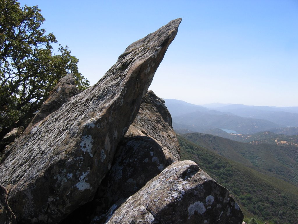

One of the outstanding rock formations on Rocky Ridge/Blue Ridge public lands.
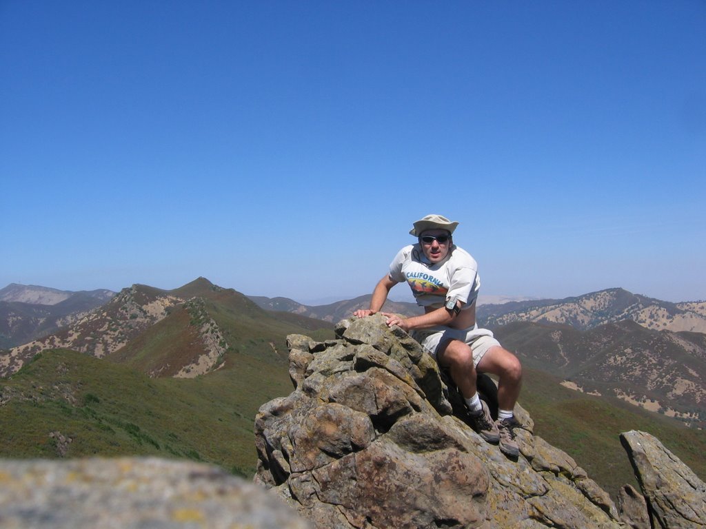

Me sitting on the ridge.


Lake Berryessa as seen from the ridge.


Some of the oak woodlands on the ranch.


View of the ranch from on one of the knolls.

Saturday, September 09, 2006

Ireland Ranch Acquisition, other news

In case you haven't heard, Tuleyome acquired the Ireland Ranch in western Yolo County. This 640-acre ranch abuts the 9,100-acre BLM public lands along Blue Ridge. It has long been a personal goal of mine to have public access to the public lands, so this is welcome news that our organization has been successful. You can see the full press release at the Tuleyome webpage.

Volunteers needed. Tuleyome is getting our volunteer program going. If you'd like to be a docent on the new ranch, leading hikes and such, please let our executive director, Debra Chase, know. If you have a 4x4, even better, as they are needed to get to the property. It's fabulous up there, and presents lots of opportunity for hiking, camping, and wildlife viewing. I was there yesterday and saw a wild boar and bald eagle. Amazing.

Another volunteer opportunity is to help lead outings with the Capay Valley Hiking Club. Sam and I have been the only ones doing it for years, and that isn't sustainable forever. In order for the program to grow, we need you help. Have a favorite hike and are willing to show up to lead people? We need you!

I'm busy leading the charge on developing tee management plan with our sub-committee, for the Ireland Ranch. So much to consider, including recreation access and wildlife protection, and how best to manage the both. We have a solemn responsibility to preserve the land, and I'm honored the Irelands sold to us.

Lastly, be sure to come out to the Cache Creek celebration September 16th! Details at www.tuleyome.org.

Friday, June 30, 2006

Tuleyome initiates weed eradication project on Cache Creek

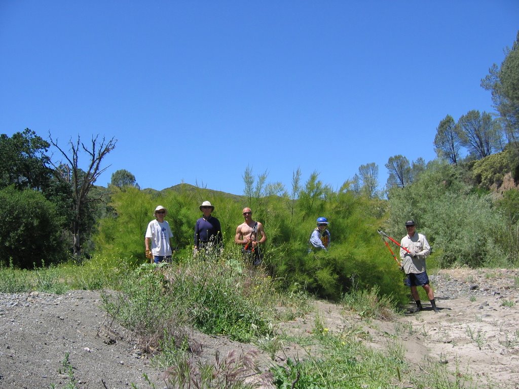
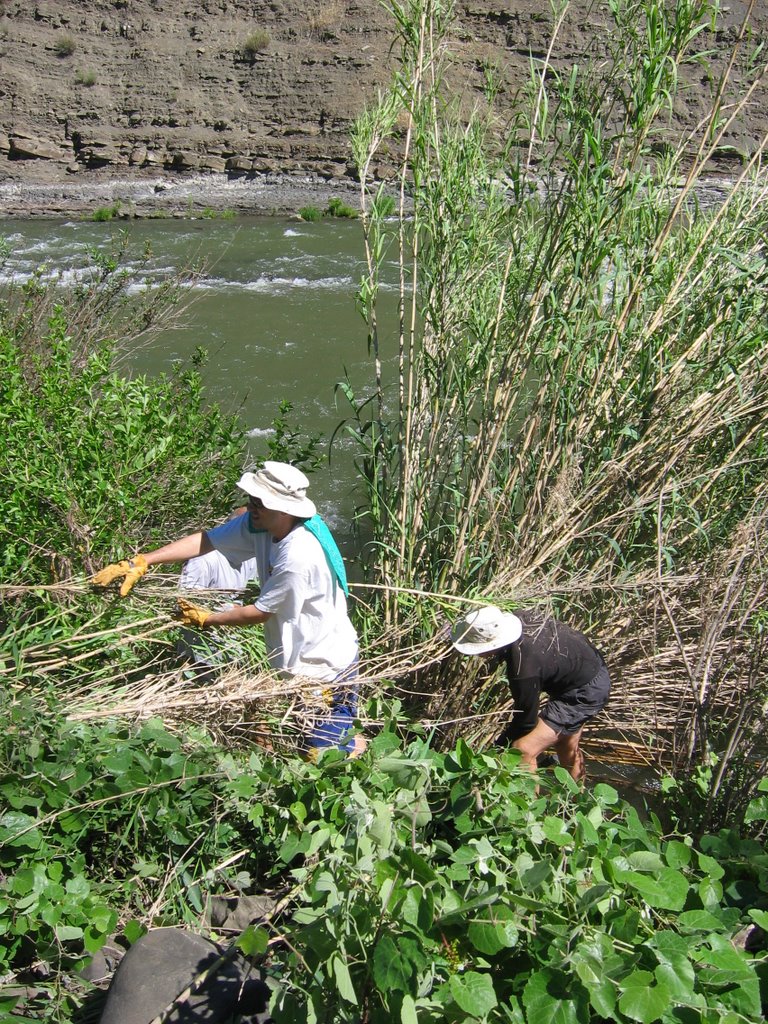
As most people who visit this site know, Tuleyome is a watershed-wide non-profit of which I'm heavily involved. One of our projects was to protect Cache Creek as a State Wild and Scenic River. After we were successful, we began work with the Bureau of Land Management and state Department of Fish and Game on an eradication of invasive Tamarisk and Arundo plants along the stretch of Cache Creek known as the 'Wilderness Run'. This section of the creek is only easily accessible by kayak. So, volunteer teams of 'weed-yakers' float down the creek, stopping at the invasive plants and cutting them down. We have a certified pesticide applicator who then brushes the cut stumps with herbicide to kill the plants. Retreatments will occur as necesary to kill resprouts.

Luckily, there are only 58 or so plants along the 19 miles of the Wilderness Run. This means we can manage the plants using our volunteer crews, before they get out of control!


After cutting the huge Tamarisk clump

Before cutting that same clump


A big cump of Arundo

Cutting the arundo down and passing the stalks up to a crew, who will spread them to dry.

Finished with the arundo clump removal. The bare spot to the right of one of our weed-yakers is where the cluster was growing.
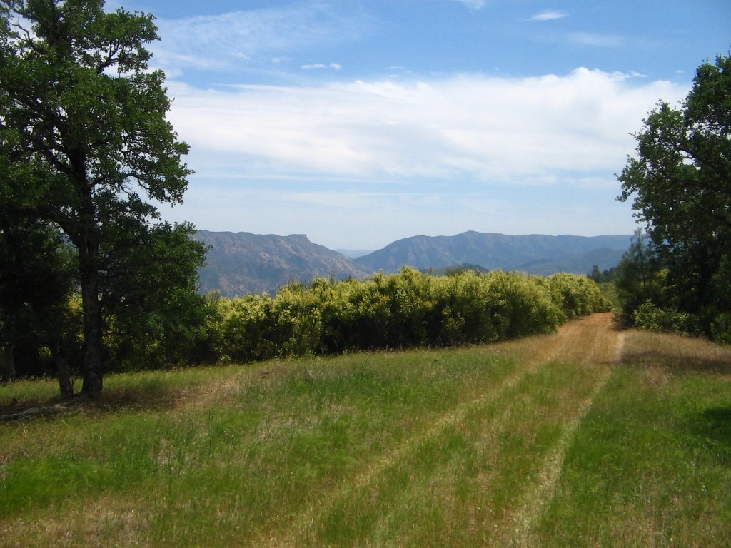
If you have a kayak and want to help out, let me know!

Wednesday, June 14, 2006


Lynch Canyon to Cache Creek Ridge hike
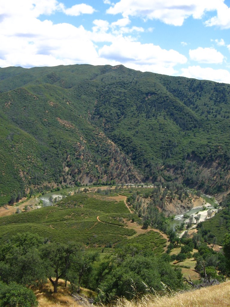
The final hike of our 2005-2006 season was a long one. Our ten-mile hike progressed through the oak woodlands of the Cache Creek Natural area, starting at Lynch Canyon off of Highway 20, heading through the heart of the Bear Creek Unit, past the Roadkill Café, and up the Dunfield Springs cutoff, to intersect with Cache Creek Ridge. From Cache Creek Ridge we headed southeast to Bear Creek.

I’d never taken the Dunfield Spring Cutoff before, so I was interested in seeing this route. It was fantastic, as expected, and provides a great way to get to Cache Creek Ridge from the valley at the end of Lynch Canyon.

The weather was fabulous, with temperatures in the 70’s until after lunch. It’s been a real mild summer, thus far.

This concluded our hiking season, but expect updates on Cache Creek kayaking this summer.

Wednesday, May 31, 2006


Brophy Canyon to Cache Creek Ridge Trip Report

Unseasonably cool weather was the order of the day, as 17 of our intrepid hikers opted to go the full route. This meant they had to brave two creek crossings, moo-cows, moo-cow-patties, unbridled scenery, and spending the day with me. Adventurous lot!

We parked at the pull-out at the mouth of Brophy Canyon, off of Highway 16, and began our trek down to Bear Creek, where we would have to cross. Sam brought the plank-o-matic, which is only version 1.0b, Douglas fir edition. Unfortunately, the plank wasn’t long enough to reach across the creek, so we opted to wade across, with some removing shoes and others deciding that wet shoes wouldn’t be a big deal. I was with the former.

We began our ascent out of Brophy Canyon, enjoying the views of Cortina Ridge. It was one of those blue-sky-big-fluffy-clouds days, so we got some great pictures. Visibility was excellent and the air was clear. We hiked our way up past the cows grazing, said our obligatory ‘moo’s’, and moooved on. Lunch was at the ruins of the old stage stop. During lunch we saw a few pieces of heavy equipment grading the trail/farm road, as well as carrying out some car bodies and other trash left over by the previous owners. We gave a healthy round of applause. They didn’t notice.

Then we were off to Cortina Ridge, where we finally saw Cache Creek and enjoyed our views of it the rest of the way back down to Bear Creek. A quick car shuttle and we were back at the trailhead.

Fabulous time!

Wednesday, May 24, 2006


Good tent for summer camping

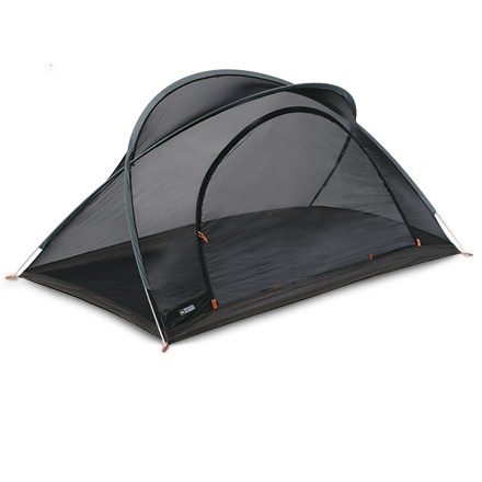
Ok, is this really a tent? Given that camping in California is pretty mild, the REI Bug Hut 2 is pretty much all you need for most seasons. In the Putah and Cache Creek area, this is perfect for early Fall, Spring, and Summer camping. It doesn't weigh much, has a full floor, is free-standing, and can sleep two comfortably.

I made a rainfly out of 4-mil plastic, with grommets attached so it can attach firmly to the tent.
Overall, it's a great value, and keeps the bugs out.

It's become part of my lightweight backpacking setup.

What kayaks to buy?

I know this blog has been pretty gear-focused of late, but this time of year I always get the request as to what types of things to get for backpacking/boating/general recreation.

Since it's now kayaking season on Cache Creek (and yes, I've already gone this year), people often ask what boat I have. Those who know me know I like good gear, but also like inexpensive gear. Why pay more than you have to for the same amount of fun?

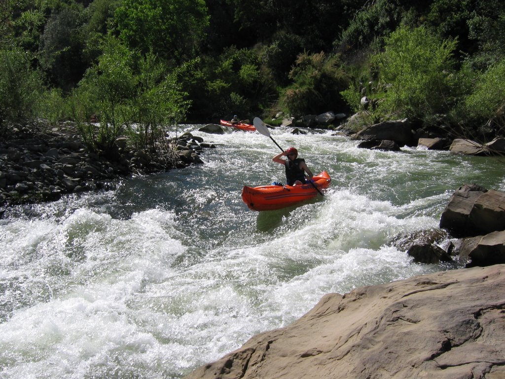
My boat is the good-old Sevylor K79SB, aka. Orange Torpedo, or as I call it, the Disposaboat. It's a self-bailing version of the classic Sevylor 'Tahiti', originally made for Orange Torpedo raft trips; a company that runs whitewater tours in the pacific northwest. The boats go for under $150, and have plenty of room for you and your gear, especially on overnight trips. Despite what they say, they do not work with 2 people. I've tried it. It's not great.
But, for one person, these boats can't be beat at their price point.

Another good, relatively inexpensive boat is the Aire 'Tomcat'. A two-person version of this will run about $399, lightly used at www.gravityplay.com. That's the best price I've seen.

Whatever boat you choose, remember you life vest. In Yolo County, it's a County ordinance that you wear one while boating.

The image above is from last Wednesday, on my Orange Torpedo on Cache Creek.

Monday, May 22, 2006


Finally got a flashlight I will use

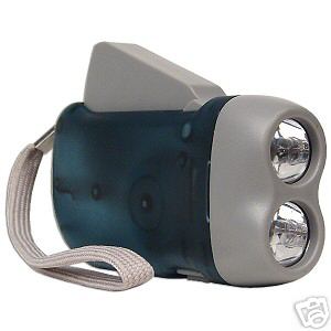
Though for ultralight backpacking purposes, a tiny coin-cell LED light is preferred, I also like this one. You can find numerous sellers on Ebay. Don't pay over $8 total, including shipping. Search for 'Squeeze light'.

Here's the problem: Most of the time when you own a flashlight, you use it for a while and then the batteries die. Ok, sure, you can get rechargables, but that means you need to plan ahead before a trip. I'm usually just making sure I have food.

So with this one, you squeeze the dynamo to charge a capacitor (some have onboard batteries which are recharged by the dynamo) which then gives you power to run the light. You never have to worry about batteries again. Perfect.

Reviews of the 'shake lights' were poor, but these dynamo lights really work. I bought a few for camping and for home use. Since my kids like to play with flashlights, this solves the battery problem for them as well. They've also learned to squeeze it....

Tuesday, May 16, 2006

Trip Report on the Bear Creek/Craig Canyon Hike

Winter turned to summer with little time for spring. This, of course, meant it would be hot, or at least really warm. I don't really mind hiking in the heat and I always pack lots of water. I ran through it on this trip. The hike was short. Surely no longer than 5 miles, but most was cross-country. I'd wanted to hike up to the 'other' Blue Ridge, shown on USGS maps south of Highway 20 and west of Highway 16.

So, leading a small group, we hiked directly west of the BLM 'Cowboy Camp' parking area and trailhead, fording Bear Creek and starting directly up the grassy serpentine hills. The hills west of the trailhead have grass slopes, with a nice covering of chapparal on the top. Elk had blazed a trail that was easy to follow through the thick brush.

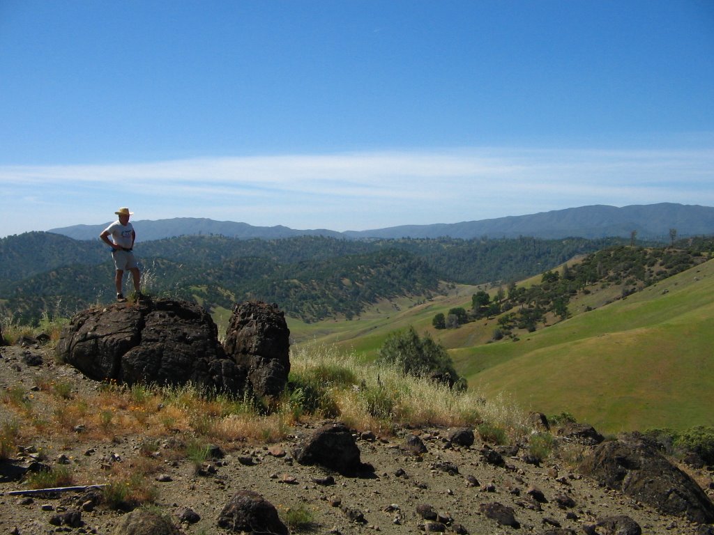
At the top of the hill, we were greeted by a barren rocky surface with large rock buttes which served as vista points. Continuing south along the ridge, we saw a nice herd of elk snaking their way across the slope. After several minutes of photos, we continued on to a nice rock butte for lunch. My hydration pack still had a large block of ice contained within, so though it was 95 degrees, I still felt cool.

Lunch over, we trekked down to Craig Canyon, pausing to look at an old hunting camp site, complete with rusty stove. Though it hasn't rained in quite some time, the creeks were all flowing substantially, including those coming out of the dry hillsides. Most impressive!

The trip concluded with another crossing of Bear Creek, and a nice one-mile flat hike back to the Cowboy Camp. I'm increasingly fond of Bear Creek. Lots of ancient sea-bed outcroppings and gorgeous plunge-pools. Numerous ledges form waterfalls and cool, green pools beneath. One of these days I need to map them all....


Thursday, May 11, 2006


Kayaking season has begun on Cache Creek

Flows started going up for irrigation last week, so now through August it will be sweet!

For current flow conditions, check out Yolo County Flood's website, and click on Water Releases.

I plan on doing the Rumsey run next week....the wilderness run from Highway 20 will have to wait until I get more free time....

The Rumsey Run is great in that you can do the run in 2.5 hours, then be back home in time for lunch.

Thursday, May 04, 2006

Low Water Bridge Now Passable

It seems like Rayhouse Road and all the trails beyond (Blue Ridge, Frog pond, Fiske Creek, etc.) have been off limits forever, what with so much flow coming down Cache Creek and crossing over the low-water bridge. My normal rule of thumb is that if it is 1500cfs or under, you can cross. Most all of march it's been over 3000.

Well, I checked this morning and the river is running under 600cfs at Rumsey, so if you are planning a hike this weekend, try out the frog pond or blue ridge, as the bridge is now passable!

Next up: irrigation releases and rafting season!

Tuesday, April 11, 2006

Zim Zim falls trip report – 4-10-2006.

Wet. Really wet. Soooo wet.

We met at the usual 9am time in Winters. Sam was the designated leader for this one, so I didn’t do my usual head count. I think there were about 13 to 15 people. Not bad, considering it was raining. I suspect the promise of a 100-foot waterfall in our own watershed was just the motivation people needed to brave the weather. We carpooled up to the trailhead, dodging the landslides and fallen rocks on the road. These storms have done a number on the slopes, and erosion was everywhere.

We finally made it up to the trailhead, parked, and got ready to slog up the trail to the falls. Eticuera creek had been extremely high recently, as was evidenced by the debris line, which was the highest I’ve ever seen it. Walking up the trail, we passed the small grove of (currently dormant) Osage orange trees. They are a remnant of the old hotel and ranch grounds, now long gone. After crossing Zim Zim creek the first time, we could smell the sulphur from Zim Zim spring.

The valley looked really nice, and the wildflowers are trying, desperately, to get going. Just too wet, cold and overcast to really start the show, but if we get a break, they are sure to just go nuts, and for quite a while with all that soil moisture. We meandered, talking, up to the final split, where we began the ascent toward the vista of the falls. Slowly they came into view, as well as becoming audible. The falls were spectacular, given the volume of water pouring through the narrow gap between the mountains.

After lunch on a nice rock outcropping, located about halfway down the slope, directly across from the falls, we headed up to look at the valley above. Feeling adventurous, I talked most of the group into making this hike a loop, by passing into the Nevada openings, following Nevada creek, then looping back to Zim Zim. I’d never taken this route before, but given that I’d studied the maps beforehand, and had my GPS (with the car’s location entered) I felt confident we’d have no problems.

The loop added a hair over a mile to our trip, but was well worth it. The lands along Nevada creek are pretty stunning. Jagged rocks rise up to cap small knolls, hidden waterfalls drop down side-canyons, and blue oaks dot the grasslands that mix between the brush-covered mountains. One other hiker and I described the place as having a really good ‘vibe’. Hard to describe, but some places just feel nice, and this was one of those places. I’d love to do an overnight here sometime.

We followed the creek downstream, then wound a bit up the side of the hill, eventually finding our way back down to the creek and around the mountains that separate Nevada creek from Zim Zim creek. Along the way, several small waterfalls were visible in side canyons. I’m going to have to explore these one day.

Once back at Zim Zim, we walked the half-mile back to the cars where Sam was waiting. Huge kudos to Sam for waiting the hour and ten minutes longer it took us to do the loop. Sam had headed back with Carol and Andrea, from the falls, and since he had carpooled with several in my group, he had to wait. Yet, he was just as enthusiastic about the trip as our group, since this was the first time he had seen the falls!

Overall, another fabulous and beautiful trip in our local watershed.


Friday, April 07, 2006

Alcohol stove

When I started getting into lightweight backpacking, one of the first items I researched was how to lighten my stove. This was a little hard, since I really love my Coleman Peak 1 Multi-fuel. It's a great design, has fabulous simmer control, and few parts. It also weighs a ton.

So then I read online about all these alcohol stoves people make themselves. If you know me, you know I love to make my own stuff, so this seemed interesting. Plus you get to play with fire, so, you know, even better, right?

The best design I found was at this link. It works fabulously. I used it on an overnighter last year with Mark Abildgaard, up on Cortina Ridge. It boiled water real quick, and the thing is super lightweight. It's become my new backpacking stove for all my trips. It's even light enough for day hiking use, if you want a hot lunch. When you buy the JB Weld and aluminum tape, you'll have enough for at least a dozen stoves. Gifts, perhaps?

Wednesday, April 05, 2006

Kids in Nature

I love bringing my kids outdoors. One of the best trips you can make with small kids is to go to Cold Canyon, find a path to the creek, and just let them spend a few hours splashing in the water and climbing rocks. In fact, on the main page of Yolohiker you'll see a link to a series of hikes at Cold Canyon, sponsored by UC Davis. Several are for parents and kids. Check it out!

Also, bring your kids on some of the Capay Valley Hiking Club hikes.

http://www.sfgate.com/cgi-bin/article.cgi?file=/gate/archive/2006/04/05/gree.DTL

Last month a Cornell University study reported that childhood wild-nature play -- unstructured time in nature like camping, hiking and playing in the woods -- has a profound influence on environmental attitudes and actions later in life.

But most kids these days are brought up in over-manicured suburbs with an abundance of electronic playthings and an ever diminishing exposure to nature.

According to Richard Louv, author of "Last Child in the Woods," they are suffering from "nature deficit disorder." In his book, Louv describes a cycle of alienation: Kids who don't go out into nature aren't familiar enough with nature to want to go into nature and don't feel comfortable when they're there. And that's bad news for their future capacity to steward the environment.

Tuesday, April 04, 2006

Headlamps - not as useful as you'd think

I'd bought a headlamp, thinking it would be useful for two reasons. First, I love having my hands free when hiking, and second, I needed something for use when I'm doing construction work. For example, when fixing plumbing, it's great to be able to shine your headlamp on the work area and keep your hands free.

However, I discovered that when camping on Cache Creek, a headlamp does more than you'd think....Starting out on a night hike, I fitted the headlamp, turned it on, and was immediately surrounded by all manner of bugs which were attracted to the light. Turns out a handheld flashlight is the much better option when outdoors.

So now my headlamp sits in my tool bucket...
:-)
But my headlamp did come with a bonus micro LED light that uses coin cell batteries, so I use that when backpacking....

Monday, April 03, 2006

Lightweight (free) Walking Stick

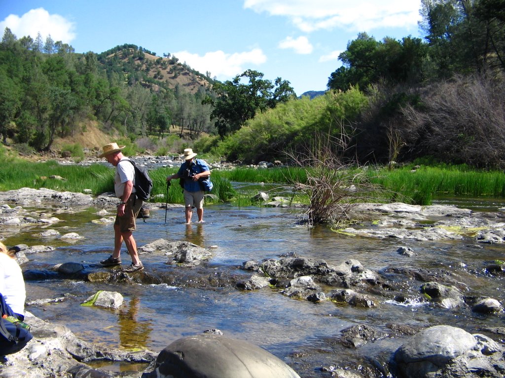
Everyone is using walking sticks these days. Lots of the hikers have them on our hikes, and they do make it easier to cross creeks. Especially those with moss-covered rocks.

I've been looking at them, but quite frankly, can't find it to spend $150 on a pair of sticks. I know, they are useful...But come on....It's $150.

So I went looking for an alternative. Some people use bamboo, but again, you either have to have a source, or you have to buy it.

So, what's like bamboo, infests all our local rivers, and is just begging for you to cut it down? That's right, arundo donax, the giant reed. It's evil, infests streams, and it's about time it got put to a beneficial use.

So, I cut off some nice stalks, let them dry, and now I have walking sticks that are extremely lightweight, flexible, but still strong, and great for walking. Even better, if they break or split, you can get some more for free.