Andrew Fulks
Wednesday, April 23, 2008
4-12-08 Lynch Canyon to High Bridge Trail Hike
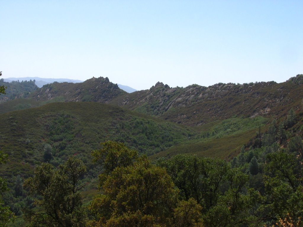
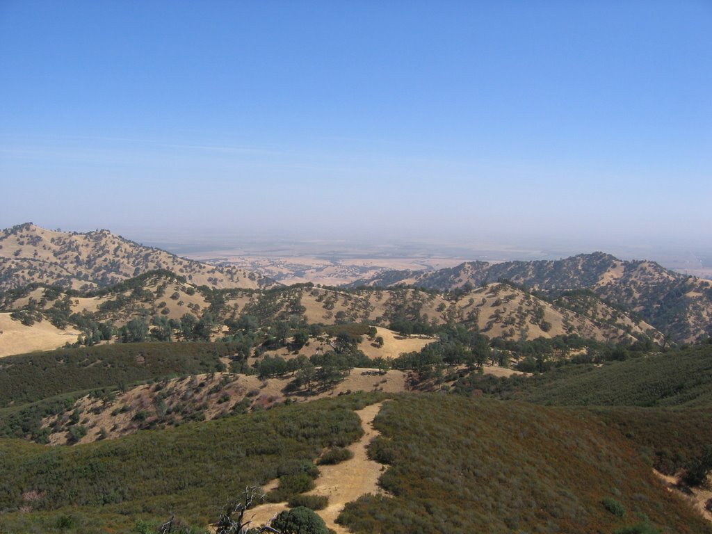
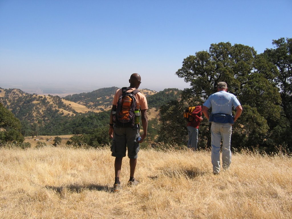
A large group went out to the Cache Creek Natural Area, to hike on the Bear Creek Unit. I'd wanted to do a through-hike, but a little shorter than what we had done the past few hikes. After looking over the trail map, I'd decided on a 7-mile hike down Lynch Canyon, past the Roadkill Cafe, and up and out via the High Bridge Trail.
The weather was great. The wildflowers were not as great as they have been in previous years, perhaps as as a result of the dry weather. They seem to be hard to time for each location, especially when they seem so good in other parts of the mountains.
But still, these are great mountains, and the day was perfect.
Labels:
bear creek,
BRBNA,
cache creek,
colusa,
hiking,
NCA
Wednesday, March 12, 2008
Trip Report - 3-8-08 Zim Zim Falls Hike
Last year, I didn't get to enjoy this hike. It wasn't due to my lack of wanting to, but due to lack of rain. Zim Zim falls, located in the Napa Ranch addition to the Knoxville State Wildlife Area north of Lake Berryessa, is entirely fed by rain run-off. It was purchased by the Department of Fish and Game, with help from other non-profit and State agencies. For a history of the Zim Zim name, click here, and scroll to the bottom of the page to 'Zem Zem'.
This vast landscape is wonderful. Ok, so I'll win the award for oversimplification for that statement. Let's try again.
I like the subtlety of the Zim Zim valley. I think it's that subtlety that makes the falls so impressive. For the first 3.5 miles of the hike, you walk up a valley, following and crossing Zim Zim creek. The ridges on each side aren't terribly high, so it isn't like you are walking up some spectacular canyon, knowing you will ultimately meet a fabulous waterfall. No, you just gently wind up the valley, passing through blue oak woodlands. The falls are hidden around a bend in the river, so you have to climb up the hill (on a path of course) in order to view them.
After we had lunch on a rock outcropping overlooking the falls, we took the trail up behind the falls and climbed onto the western ridge above Zim Zim valley. From the ridge, we could see down onto Zim Zim and Nevada creeks, epic views of Lake Berryessa, and a fantastic panorama of Blue Ridge.
Great weather, great people, great place. More photos are posted here.
Andrew Fulks
Monday, March 03, 2008

Gear Review - Zodi Outback Portable Hot Shower
Granted, this is a total luxury. But, if you are car-camping with your family for more than a day, and you have kids that think dirt is the best playground ever invented, this thing is for you.
There are several models of this heater available. Some have dual burners, a soft case instead of a hard case, and some are industrial in size to use a larger propane tank.
Prices vary as well, but a basic model at Wal Mart is about $100. You can also find the occasional used model (as I did) on Ebay for about half that.
So, how does it work? It is actually so simple that I'm surprised it hasn't been made before. It's just a propane burner, with a copper coil wrapped around it. A small 6v pump pushes water through the coils, heating it before it comes out the shower head. If you want the water to be hotter, just put the shower head into the water source and let it cycle through again. The container that holds everything also doubles as a water source and stand for the propane container.
This is a really great product. Made in the USA, and built rock-solid. The body is all metal, and the pump, battery case, and container/water box are all very rugged. If you car camp and want the luxury of a hot shower, this is the gear for you.
Andrew Fulks
Wednesday, February 13, 2008
2-10-08 Walker Ridge Trip Report
I love California. I love being able to hike in early February, in shorts and short sleeves. Incredible.
So we went to Walker Ridge, which is a remote ridge on the border of Colusa and Lake Counties. It gets some use by off-road motorcycles, but the area is otherwise very lightly visited. It has some amazing vistas, and on a clear day you can see the Sutter Buttes and dthe Sierra Nevada. On this hike, we saw the Sierra very clear, but an inversion layer trapped all the valley smog/smoke/fog and obscured the Buttes.
The views of Snow Mountain were pretty fabulous, and the mountain lived up to it's name. We started off the hike with great views of the snow-capped peaks. We start at the highest point of the hike, so downhill we went toward Signal Rock. Along the way, we looked at an old chimney from a long-forgotten homestead. With mining, came the houses. When mining left, the harsh landscape left nothing else for the residents of the Sulphur Creek mining area. Only Wilbur Hot Springs remains in the watershed. From work to leisure, human uses of the region have changed greatly in 150 years.
This hike was a loop, looking at two large rock formations and the old Clyde mine. I've done this loop for many years now, and each time I am more astounded at the landscape. An entire pygmy forest of cedars, a grove of oaks in a sea of chemise, serpentine slabs with emerald green gloss and white veins.
I posted pictures on the images section of the Yolohiker website.
Andrew Fulks
Tuesday, January 29, 2008
Gear Review - Ka-bar hobo classic knife combo
I'd been wanting an all-in-one knife/fork/spoon combo for a while. I used to have a cheap plastic one when I was a kid, so I got to thinking about how I'd like one when camping now. So, I started searching around online for something. A few companies make different kinds, and Ka-bar makes several 'hobo' versions. The classic version is the best, in my opinion. It comes apart, so you can use the fork, knife, and spoon separately. There is another version that does not detach each item, but in my opinion, it's best to be able to use each utensil separately.
I found mine for a good price on ebay. It comes with a sheath, and is stainless steel. A great way to replace all your separate eating utensils.

Andrew Fulks
Saturday, January 26, 2008
1-26-08 Trip Report, Pierce Canyon Falls, Road 53
I had planned on leading a hike up to the Otis Ranch today, but the weather had been so bad the night before, Road 16 was closed at Rumsey. This would have meant we would have had to hike a few extra miles. Ordinarily that's not a problem, but while standing there in the Post Office parking lot in Guinda, we realized this would be the perfect time to hike Road 53, to see the falls. We guessed they must be running, and were they ever!

On the way up, there were still patches of snow. The snow had been so heavy, numerous tree branches had broken off, under the weight.

On the drive to the trailhead, Road 31, among others, was flooded.
The creek on the hike up was roaring.
The falls looked great. Lots of flow.
I had planned on leading a hike up to the Otis Ranch today, but the weather had been so bad the night before, Road 16 was closed at Rumsey. This would have meant we would have had to hike a few extra miles. Ordinarily that's not a problem, but while standing there in the Post Office parking lot in Guinda, we realized this would be the perfect time to hike Road 53, to see the falls. We guessed they must be running, and were they ever!
On the way up, there were still patches of snow. The snow had been so heavy, numerous tree branches had broken off, under the weight.
On the drive to the trailhead, Road 31, among others, was flooded.
A wider view of the falls, with the side channel on the right.
Video of the falls.
Andrew Fulks
Tuesday, January 22, 2008
Snow in the Yolo Mountains
Oh, boy, I wish I wasn't working and could have gone up to Rumsey or the Ireland Ranch. I was doing work near Winters, and stopped to take these shots. There must have been at least 6 inches in the mountains further up towards Rumsey...(BTW, I was using a high zoom to get this close).

Oh, boy, I wish I wasn't working and could have gone up to Rumsey or the Ireland Ranch. I was doing work near Winters, and stopped to take these shots. There must have been at least 6 inches in the mountains further up towards Rumsey...(BTW, I was using a high zoom to get this close).

Sunday, January 13, 2008
Sunday, January 06, 2008
Rain Means Waterfalls


I could have done without the power outages and general landscaping damage, but it was nice to have some rain to replenish the creeks. When we get enough rain that it starts to run off the hills, we can enjoy visits to two of our local waterfalls.
The first is the Zim Zim falls, in Napa County on DFG's Napa Ranch. This waterfall is over 100-feet high, and roars between a notch of rock into the Zim Zim valley. Last year's meager rainfall didn't get this waterfall really going, so I'm hoping for better things this year. This fall drains a large valley, so if it gets going, it usually lasts through spring as a pretty big flow.

The second is the Pierce Canyon falls, in Yolo County. This waterfall is viewable from a public dirt road (Road 53) that leads out of Guinda, and only runs once Casey Flats begins draining water. This fall is best after a heavy storm, so be sure to time your hike accordingly. I've seen it roaring and I've seen it as a trickle. Dave Pratt has the best photo of it, which I've posted below. He loves this hike and is great about timing it.

Monday, December 31, 2007
Newest Version of Yolohiker is Now Up!
It took a Christmas break and a cold to give me enough time to finish the revisions to the website. You'll notice a few new things, so feel free to look around.
- New maps in .pdf format for easy printing, to scale
- GPS track logs you can download and put on your GPS unit to guide you on the hikes.
- New trails navigation menu, using Google Maps, so you can get directions to each trailhead from your home address
- Google Earth files so you can see the trails in 3-D using Google Earth.
- A sitemap for easy navigation direct to each page
- More local trails, including the Fremont Weir State Wildlife Area and Yolo Bypass Wildlife Area
Sunday, November 25, 2007
Updates on Yolohiker.org
I've been working feverishly on the newest version of the site, so you've likely noticed the lack of news updates and the like. I'm making great progress, and have most of the pages converted over to the new design. What people will be most interested in are the new features, such as downloadable .pdf trail maps, GPS track files, and Google Earth trails and placemarks.
I hope to have the revised site up in January, 2008!
I've been working feverishly on the newest version of the site, so you've likely noticed the lack of news updates and the like. I'm making great progress, and have most of the pages converted over to the new design. What people will be most interested in are the new features, such as downloadable .pdf trail maps, GPS track files, and Google Earth trails and placemarks.
I hope to have the revised site up in January, 2008!
Monday, June 25, 2007
Cache Creek Weed Control Project - Results Are Great
On May 25th, I went down the Wilderness Run of Cache Creek, to look at how Tuleyome's work was holding up from last year. It was nice to see that the invasive tamarisk and arundo plants we had treated last year were nice and dead. Only a few re-sprouts!
By the end of this year, we should be done with over 90% of the weeds on this 19-mile stretch of river. Feels good. Tired...but good.

A large arundo clump, now dead. Notice the slash from out cutting, on the left of the photo.
On May 25th, I went down the Wilderness Run of Cache Creek, to look at how Tuleyome's work was holding up from last year. It was nice to see that the invasive tamarisk and arundo plants we had treated last year were nice and dead. Only a few re-sprouts!
By the end of this year, we should be done with over 90% of the weeds on this 19-mile stretch of river. Feels good. Tired...but good.
A large arundo clump, now dead. Notice the slash from out cutting, on the left of the photo.
Another Arundo clump at Kennedy Flats. This was huge and took part of the evening and the next morning to cut, last year.
A large tamarisk clump at the confluence with Trout Creek. It's brown because it's dying. The center wasn't sprayed last year so we got it this year.
Andrew Fulks
Wednesday, May 30, 2007

Fremont Weir State Wildlife Area – Road 16 Access Threatened
This has been the hot topic here at Yolohiker. Wildlands, inc., a landowner out next to the State Wildlife Area, has been having problems with trespassing, vandalism, poaching, etc. So they are looking to abandon a portion of the public road, thus turning it private and (so the thinking goes) reducing their problems. I understand their problems, being a property manager myself, and deal with these issues daily.
Only problem is that if the public abandons Road 16, we will have no access to the Wildlife Area from the east. This will mean if you live in West Sacramento, you’ll have a lot further to drive to get to the other side. And those who want to fish in Tule Canal on the Wildlife Area will have to walk quite a ways to get there. We ought to be encouraging responsible public use of our lands, not closing them off.
I think the solution is for the landowner to put up ‘No Trespassing’ signs (didn’t see any out there), a fence along the road (right now it’s open onto their fields), gates on their farm roads (they are open to the road so anyone can drive on the private roads), and that the County should put in a real parking area/trailhead/formal entry area for the Wildlife Area at the end of Road 16. Then you’d make it an amenity; give better access to over a thousand acres of public open space (only 22 minutes from Davis and 11 minutes from Woodland)!
Closing the public out of the public land isn’t the option. And no, once the road is abandoned, you can’t just hike it. It becomes private and closed to everyone. This would mean no access from the east, north, and south. Why give up our eastern access, for no public benefit?
You can find a sample letter to protest the closing, at www.tuleyome.org.
This has been the hot topic here at Yolohiker. Wildlands, inc., a landowner out next to the State Wildlife Area, has been having problems with trespassing, vandalism, poaching, etc. So they are looking to abandon a portion of the public road, thus turning it private and (so the thinking goes) reducing their problems. I understand their problems, being a property manager myself, and deal with these issues daily.
Only problem is that if the public abandons Road 16, we will have no access to the Wildlife Area from the east. This will mean if you live in West Sacramento, you’ll have a lot further to drive to get to the other side. And those who want to fish in Tule Canal on the Wildlife Area will have to walk quite a ways to get there. We ought to be encouraging responsible public use of our lands, not closing them off.
I think the solution is for the landowner to put up ‘No Trespassing’ signs (didn’t see any out there), a fence along the road (right now it’s open onto their fields), gates on their farm roads (they are open to the road so anyone can drive on the private roads), and that the County should put in a real parking area/trailhead/formal entry area for the Wildlife Area at the end of Road 16. Then you’d make it an amenity; give better access to over a thousand acres of public open space (only 22 minutes from Davis and 11 minutes from Woodland)!
Closing the public out of the public land isn’t the option. And no, once the road is abandoned, you can’t just hike it. It becomes private and closed to everyone. This would mean no access from the east, north, and south. Why give up our eastern access, for no public benefit?
You can find a sample letter to protest the closing, at www.tuleyome.org.
Image of the Wildlife Area from the end of Road 16, looking west.
Also looking west.
Aerial view of the State Wildlife Area. Most folks don't know this part of Yolo County. I think that should change...Tuesday, April 10, 2007
Kayaking Season is upon us
This winter had very little rain. So why, you might ask, would we be talking about kayaking? In Yolo County, our agricultural water supply comes from inner-coast range lakes; Clear lake and Indian Valley reservoir. These are rainfall-fed lakes and while there wasn't a lot of rain this year, last year had enough to carry over. This season the irrigation has started earlier so a 'benefit' is that boating season is also earlier. I've talked with the District and it looks like it will last through August, meaning we get more boating than usual. But before you jump up and down too much, remember that if we don't get a good winter this coming season, next season may be a bad kayaking year. So it all kind of evens out....
This year, Tuleyome's Cache Creek Weed Eradication project will have three overnight kayak trips. You are invited. Send an email to yolohiker@yolohiker.org if you want to help out. Bring your own kayak!
Trips are:
June 9-10, 2007
July 7-8, 2007
August 18-19, 2007
I will also be leading 4 or so trips on various Fridays during May through July. If you can get off on the second or fourth Fridays of each month, and want to come with us, let me know.
This winter had very little rain. So why, you might ask, would we be talking about kayaking? In Yolo County, our agricultural water supply comes from inner-coast range lakes; Clear lake and Indian Valley reservoir. These are rainfall-fed lakes and while there wasn't a lot of rain this year, last year had enough to carry over. This season the irrigation has started earlier so a 'benefit' is that boating season is also earlier. I've talked with the District and it looks like it will last through August, meaning we get more boating than usual. But before you jump up and down too much, remember that if we don't get a good winter this coming season, next season may be a bad kayaking year. So it all kind of evens out....
This year, Tuleyome's Cache Creek Weed Eradication project will have three overnight kayak trips. You are invited. Send an email to yolohiker@yolohiker.org if you want to help out. Bring your own kayak!
Trips are:
June 9-10, 2007
July 7-8, 2007
August 18-19, 2007
I will also be leading 4 or so trips on various Fridays during May through July. If you can get off on the second or fourth Fridays of each month, and want to come with us, let me know.
Monday, January 08, 2007
Exploring Bear Canyon, off Rayhouse Road
I'd been laid up with a sinus infection for 8 weeks during November/December (seriously, it wasn't cool), so as soon as the cold was gone, I was more eager to get outside than a kid with homework on a sunny Saturday. Didn't care if it was raining, so this hike was done in pouring rain. Irony being, of course, that it hasn't really rained much since then....This hike was in late December.
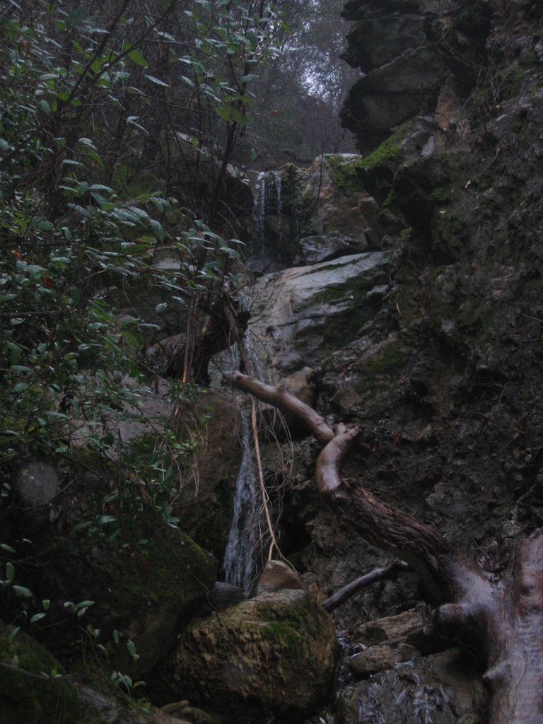
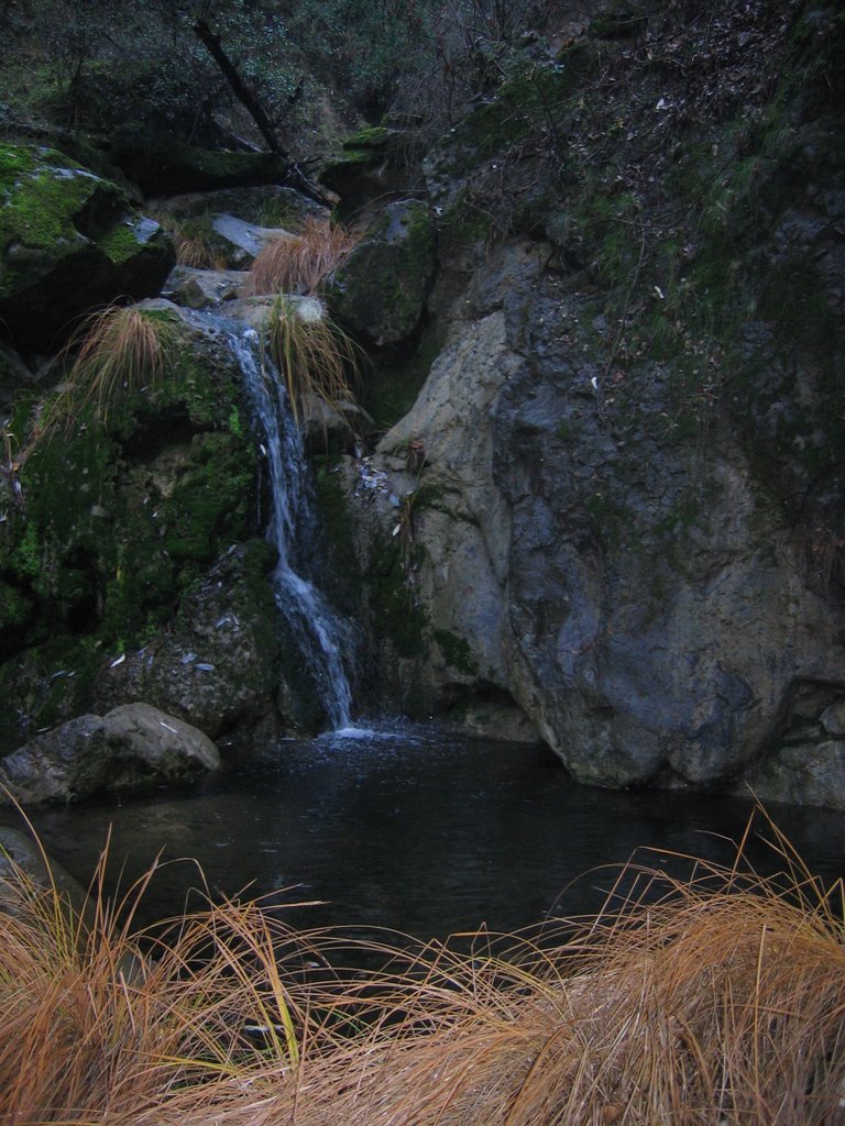
So, we started off hiking up Rayhouse Road, until we got to Bear Canyon. Then it was cross-country rock-scrambling up the canyon. Great waterfalls up there, including one which was at least 50-feet in a three-stair step. I just wish it had rained more beforehand, since the falls were pretty meager. Still, now that I've seen it, I'll be sure to go back during higher flows.
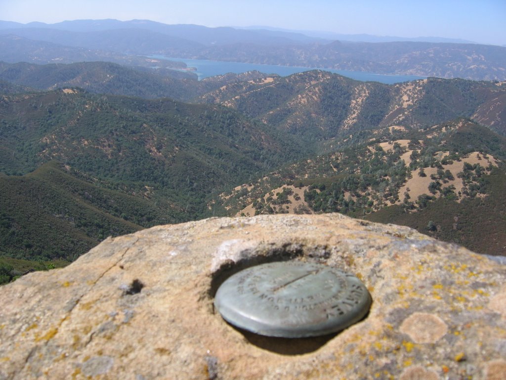
After getting above the falls, we headed cross-country to the 'Langs' USGS marker (ok, really it was a California Department of Transportation marker). Great hike through oak woodlands, including some of the largest stands of Black Oak I've seen in the county. After getting to Langs, I snapped a photo of the brass marker, then we headed downhill to intersect the Frog Pond trail and head back to the car. Well worth the rain soak!


I'd been laid up with a sinus infection for 8 weeks during November/December (seriously, it wasn't cool), so as soon as the cold was gone, I was more eager to get outside than a kid with homework on a sunny Saturday. Didn't care if it was raining, so this hike was done in pouring rain. Irony being, of course, that it hasn't really rained much since then....This hike was in late December.
So, we started off hiking up Rayhouse Road, until we got to Bear Canyon. Then it was cross-country rock-scrambling up the canyon. Great waterfalls up there, including one which was at least 50-feet in a three-stair step. I just wish it had rained more beforehand, since the falls were pretty meager. Still, now that I've seen it, I'll be sure to go back during higher flows.
After getting above the falls, we headed cross-country to the 'Langs' USGS marker (ok, really it was a California Department of Transportation marker). Great hike through oak woodlands, including some of the largest stands of Black Oak I've seen in the county. After getting to Langs, I snapped a photo of the brass marker, then we headed downhill to intersect the Frog Pond trail and head back to the car. Well worth the rain soak!


Finally Hiked Up Wildhorse Canyon
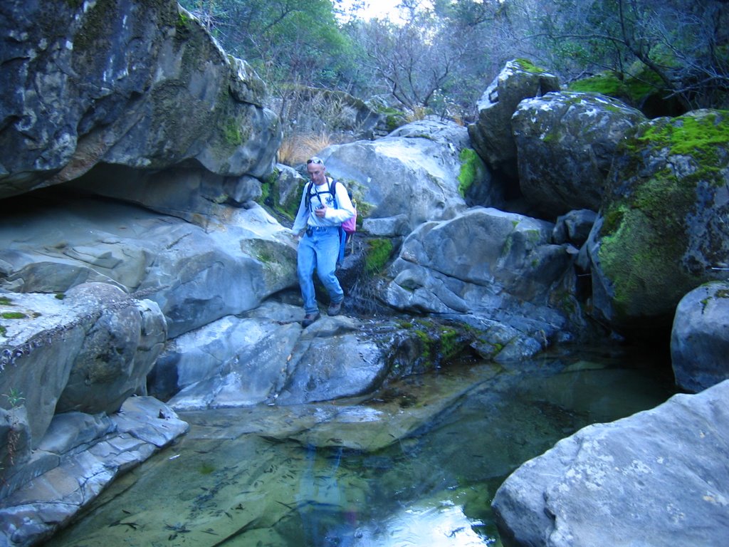
For quite some time, I've been dying to hike up Wildhorse Canyon, which is connected and to the east of Cold Canyon. It's a cross-country rock scramble, but well worth the effort. We haven't had much rain this year, so the flow was non-existent at the upper end and only a few small pools were located along the watercourse. However, I found numerous rock formations that will be wonderful waterfalls and swimming holes in the springtime. Can't wait to go back. It's BLM-managed public land, and quite extensive. Lots of exploring to do. Further up the canyon were some plastic tubes from the marijuana growers that were busted up there in 2005. I'd like to lead some cleanups back there in the future.


For quite some time, I've been dying to hike up Wildhorse Canyon, which is connected and to the east of Cold Canyon. It's a cross-country rock scramble, but well worth the effort. We haven't had much rain this year, so the flow was non-existent at the upper end and only a few small pools were located along the watercourse. However, I found numerous rock formations that will be wonderful waterfalls and swimming holes in the springtime. Can't wait to go back. It's BLM-managed public land, and quite extensive. Lots of exploring to do. Further up the canyon were some plastic tubes from the marijuana growers that were busted up there in 2005. I'd like to lead some cleanups back there in the future.


Thursday, October 12, 2006
Hiking Club info - aka. What's going on with the hiking club?
A number of people have asked about the fall 2006 schedule. There are several things going on...
Sam and I want to make the program more sustainable. When we started this, it was small, just the two of us as leaders, and few members. That was six years ago. Since then, I've had kids and Sam's knees are feeling the effects of hikes from days past. And our membership is huge...
Also, with the hiking club adopted as a Tuleyome project, we now have the capability to use our non-profit sponsor's organizational abilities to help recruit hike leaders (docents). This, coupled with Tuleyome's acquisition of the Ireland Ranch, makes this even more important, as we will be seeking docents to lead hikes on that property as well.
Sam has suggested the following, in an email to our hiking list:
Dates we have set aside, but still need leaders If we don't get a leader, there won't be a hike on the day posted:
Calendar: 2006-7 Hike Schedule (If I've made a mistake in picking 2nd Sun and 4th Sat, make an adjustment-- suggest an alternative date for your hike, as appropriate --sam)
Oct 8 Sam Redbud Trail
Oct 28 TBA
Nov 12 TBA
Dec 2 (because 25 Nov is Thanksgiving) TBA
Dec 10 TBA
Dec 23 TBA
Jan 1 TBA (Third annual New Years Day excursion)
Jan 14 TBA
Jan 27 TBA
Feb 11 TBA
Feb 24 TBA
Mar 11 TBA
Mar 24 TBA
Apr 8 TBA
Apr 28 TBA
May 13 TBA
May 26 TBA
Jun 10 TBA
*Rendezvous in Winters, not Guinda
A number of people have asked about the fall 2006 schedule. There are several things going on...
Sam and I want to make the program more sustainable. When we started this, it was small, just the two of us as leaders, and few members. That was six years ago. Since then, I've had kids and Sam's knees are feeling the effects of hikes from days past. And our membership is huge...
Also, with the hiking club adopted as a Tuleyome project, we now have the capability to use our non-profit sponsor's organizational abilities to help recruit hike leaders (docents). This, coupled with Tuleyome's acquisition of the Ireland Ranch, makes this even more important, as we will be seeking docents to lead hikes on that property as well.
Sam has suggested the following, in an email to our hiking list:
The Yolohiker web site Calendar of Hikes is not updated for 2006-7, mainly because we don't yet have a schedule.So, if you are interested in leading a hike and getting involved, let me know!
The problem is that we leaders, mainly Andy and myself plus Carol, Herb and Andrea, need to expand our inventory of hike leaders-- so listen up, here's the plan:
We will have hikes on the second Sunday and fourth Saturday (with exceptions-- see calendar below) of each month through early next June. As usual, they will all start with a 9am rendezvous at either the Guinda Post Office or the Winters public parking lot at the intersection of Railroad and Russell. We have a large inventory of past hikes and a similar inventory of able-bodied hikers who know them and are capable of leading others on these hikes.
All we need to do is match-up the dates, hikes and leaders. The Trail maps page of Yolohiker shows 15 hikes and Cross-country page shows 6 more. And there are a half-dozen or so additional, eg, Long Canyon, Zim-Zim Falls, etc., not yet on the website.
Here's the bottom line: If you know one of these hikes (or a new one, not yet in our repertoire) and want to see it on the list, then pick a date and email me volunteering to lead the hike. If you've been on a hike with me or Andy, you know how it's done and we'll be happy to provide pointers, guidance etc. As these come in, Andy will replace To Be Announced on each date with the hike title and leader. I'll include it in this newsletter writeup and schedule.
But we need to make Yolohikers and the Capay Valley Hiking Club into more of a DIY adventure (instead of a DIMyself venture). Several people have already volunteered but now is the time to get the specifics to me-- where will we be going on Oct 28??
Dates we have set aside, but still need leaders If we don't get a leader, there won't be a hike on the day posted:
Calendar: 2006-7 Hike Schedule (If I've made a mistake in picking 2nd Sun and 4th Sat, make an adjustment-- suggest an alternative date for your hike, as appropriate --sam)
Oct 8 Sam Redbud Trail
Oct 28 TBA
Nov 12 TBA
Dec 2 (because 25 Nov is Thanksgiving) TBA
Dec 10 TBA
Dec 23 TBA
Jan 1 TBA (Third annual New Years Day excursion)
Jan 14 TBA
Jan 27 TBA
Feb 11 TBA
Feb 24 TBA
Mar 11 TBA
Mar 24 TBA
Apr 8 TBA
Apr 28 TBA
May 13 TBA
May 26 TBA
Jun 10 TBA
*Rendezvous in Winters, not Guinda
Tuesday, October 03, 2006
Ireland Ranch Sneak Peak
I recently went up to Tuleyome's Ireland Ranch, to beat through the brush to get to the BLM public lands Berryessa Peak unit. Here are some photos of the area, located in western Yolo County, along the ridge, between Winters and Esparto. Tuleyome is working on a management plan for their ranch, which will cover how to provide access (docent-hikes) to the ranch and publc lands beyond. Until that's completed and underway, enjoy these photos.....
Image of Rocky Ridge (BLM)
I recently went up to Tuleyome's Ireland Ranch, to beat through the brush to get to the BLM public lands Berryessa Peak unit. Here are some photos of the area, located in western Yolo County, along the ridge, between Winters and Esparto. Tuleyome is working on a management plan for their ranch, which will cover how to provide access (docent-hikes) to the ranch and publc lands beyond. Until that's completed and underway, enjoy these photos.....
Image of Rocky Ridge (BLM)
Looking east, from the ridge, across the ranch.
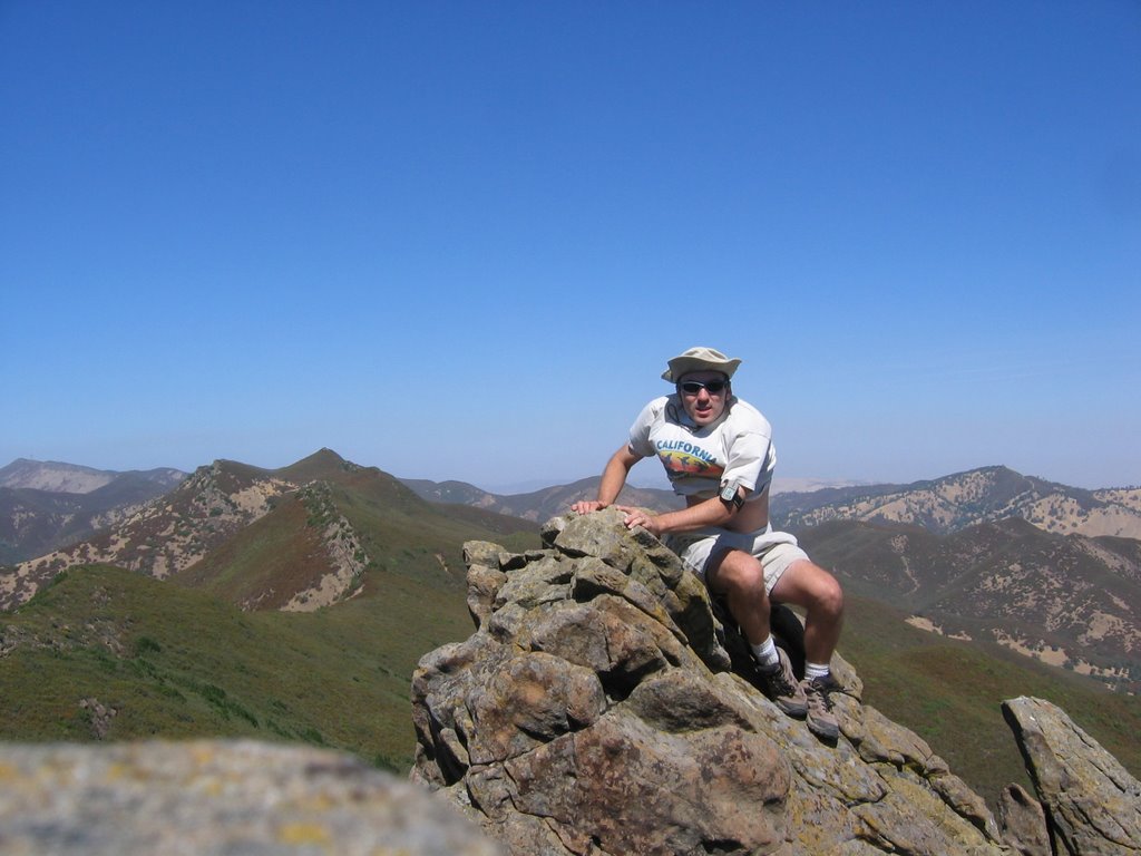
Our group on one of the grassy knolls on the ranch, looking east.
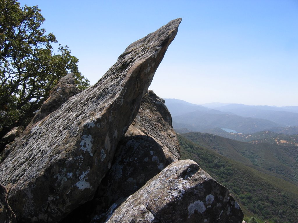
One of the outstanding rock formations on Rocky Ridge/Blue Ridge public lands.
Lake Berryessa as seen from the ridge.
Some of the oak woodlands on the ranch.
Saturday, September 09, 2006
Ireland Ranch Acquisition, other news
In case you haven't heard, Tuleyome acquired the Ireland Ranch in western Yolo County. This 640-acre ranch abuts the 9,100-acre BLM public lands along Blue Ridge. It has long been a personal goal of mine to have public access to the public lands, so this is welcome news that our organization has been successful. You can see the full press release at the Tuleyome webpage.
Volunteers needed. Tuleyome is getting our volunteer program going. If you'd like to be a docent on the new ranch, leading hikes and such, please let our executive director, Debra Chase, know. If you have a 4x4, even better, as they are needed to get to the property. It's fabulous up there, and presents lots of opportunity for hiking, camping, and wildlife viewing. I was there yesterday and saw a wild boar and bald eagle. Amazing.
Another volunteer opportunity is to help lead outings with the Capay Valley Hiking Club. Sam and I have been the only ones doing it for years, and that isn't sustainable forever. In order for the program to grow, we need you help. Have a favorite hike and are willing to show up to lead people? We need you!
I'm busy leading the charge on developing tee management plan with our sub-committee, for the Ireland Ranch. So much to consider, including recreation access and wildlife protection, and how best to manage the both. We have a solemn responsibility to preserve the land, and I'm honored the Irelands sold to us.
Lastly, be sure to come out to the Cache Creek celebration September 16th! Details at www.tuleyome.org.
In case you haven't heard, Tuleyome acquired the Ireland Ranch in western Yolo County. This 640-acre ranch abuts the 9,100-acre BLM public lands along Blue Ridge. It has long been a personal goal of mine to have public access to the public lands, so this is welcome news that our organization has been successful. You can see the full press release at the Tuleyome webpage.
Volunteers needed. Tuleyome is getting our volunteer program going. If you'd like to be a docent on the new ranch, leading hikes and such, please let our executive director, Debra Chase, know. If you have a 4x4, even better, as they are needed to get to the property. It's fabulous up there, and presents lots of opportunity for hiking, camping, and wildlife viewing. I was there yesterday and saw a wild boar and bald eagle. Amazing.
Another volunteer opportunity is to help lead outings with the Capay Valley Hiking Club. Sam and I have been the only ones doing it for years, and that isn't sustainable forever. In order for the program to grow, we need you help. Have a favorite hike and are willing to show up to lead people? We need you!
I'm busy leading the charge on developing tee management plan with our sub-committee, for the Ireland Ranch. So much to consider, including recreation access and wildlife protection, and how best to manage the both. We have a solemn responsibility to preserve the land, and I'm honored the Irelands sold to us.
Lastly, be sure to come out to the Cache Creek celebration September 16th! Details at www.tuleyome.org.
Subscribe to:
Posts (Atom)